
File:Ингушский округ на карте Кавказского края (1869 г.).jpg
Original file (948 × 948 pixels, file size: 614 KB, MIME type: image/jpeg)
| This is a file from the Wikimedia Commons. Information from its description page there is shown below. Commons is a freely licensed media file repository. You can help. |
Summary
| Description |
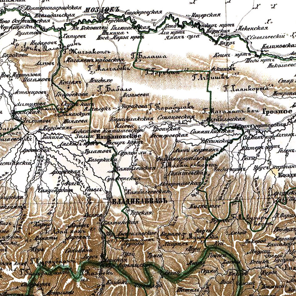
Русский: Атлас Российской империи 1871 г., Подробная карта Кавказского края с прилегающими частями Турции и Персии, 1869 г. (Масштаб: 5 верст в дюйме) |
|||
| Date | ||||
| Source | Картографическое заведение А. А. Ильина. | |||
| Author |
Русский: Составленная по новейшим сведениям Корпуса Топографов Штабс-Капитаном Кондратьевым. |
|||
| Permission (Reusing this file) |
|
|||
| Other versions |
|

.jpg)

.jpg)
.jpg)
Licensing
|
This is a faithful photographic reproduction of a two-dimensional, public domain work of art. The work of art itself is in the public domain for the following reason:
The official position taken by the Wikimedia Foundation is that "faithful reproductions of two-dimensional public domain works of art are public domain".
This photographic reproduction is therefore also considered to be in the public domain in the United States. In other jurisdictions, re-use of this content may be restricted; see Reuse of PD-Art photographs for details. | ||||
File history
Click on a date/time to view the file as it appeared at that time.
| Date/Time | Thumbnail | Dimensions | User | Comment | |
|---|---|---|---|---|---|
| current | 23:46, 20 December 2021 | | 948 × 948 (614 KB) | Adam-Yourist | File:Атлас Российской империи 1871 г., карта Кавказского края (1869 г.).jpg cropped 90 % horizontally, 87 % vertically using CropTool with precise mode. |
.jpg)
File usage
Global file usage
The following other wikis use this file:
- Usage on ru.wikipedia.org
.jpg)