
File:Eastern Mediterranean and Aegean Sea. Battista Agnese, PORTOLAN ATLAS (Italy ca. 1550).jpg

Size of this preview: 800 × 549 pixels. Other resolutions: 320 × 220 pixels | 640 × 439 pixels | 1,024 × 703 pixels | 1,280 × 879 pixels | 2,560 × 1,757 pixels | 6,808 × 4,673 pixels.
Original file (6,808 × 4,673 pixels, file size: 8.35 MB, MIME type: image/jpeg)
| This is a file from the Wikimedia Commons. Information from its description page there is shown below. Commons is a freely licensed media file repository. You can help. |
.jpg)
Summary
| Description |
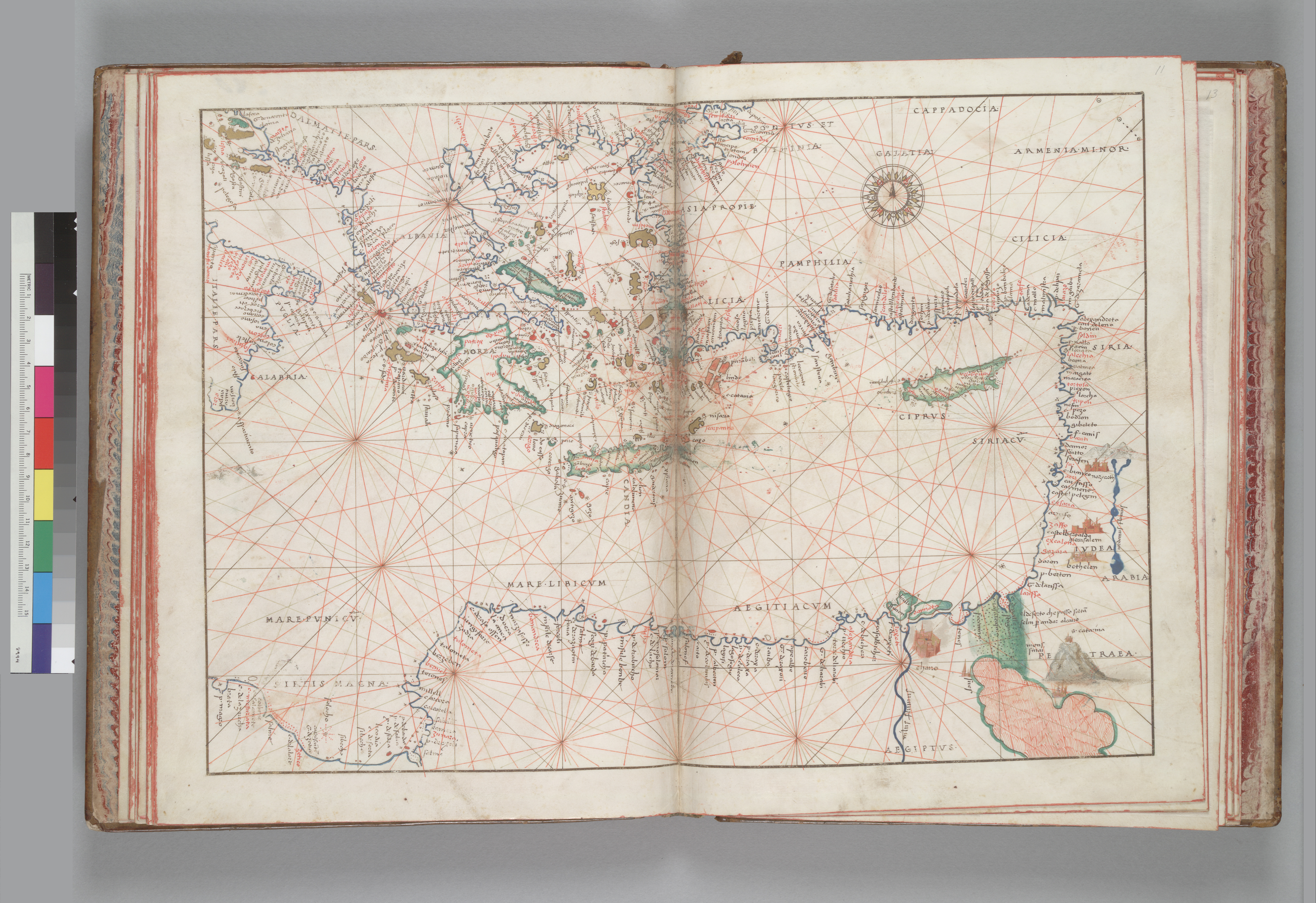
English: Eastern Mediterranean and Aegean Sea. Battista Agnese, PORTOLAN ATLAS (Italy ca. 1550) Call Number: HM 10 |
||||||||||||||||||||||
| Date | circa 1550 | ||||||||||||||||||||||
| Source | berkeley.edu | ||||||||||||||||||||||
| Author |
|
||||||||||||||||||||||
| Other versions | The Library University of California, Berkeley | ||||||||||||||||||||||
Source:
berkeley.edu archive copy at the Wayback Machine
Licensing
|
This is a faithful photographic reproduction of a two-dimensional, public domain work of art. The work of art itself is in the public domain for the following reason:
The official position taken by the Wikimedia Foundation is that "faithful reproductions of two-dimensional public domain works of art are public domain".
This photographic reproduction is therefore also considered to be in the public domain in the United States. In other jurisdictions, re-use of this content may be restricted; see Reuse of PD-Art photographs for details. | ||||
File history
Click on a date/time to view the file as it appeared at that time.
| Date/Time | Thumbnail | Dimensions | User | Comment | |
|---|---|---|---|---|---|
| current | 00:45, 21 September 2010 | | 6,808 × 4,673 (8.35 MB) | Geagea | == {{int:filedesc}} == {{Information |Description={{en|1=Maps of the Middle East}} |Source=[http://digitalassets.lib.berkeley.edu/ds/ucb/images/heh/300/000337.jpg The Library University of California, Berkeley] |Author={{Creator:Guillaume le Vasseur de Be |
File usage
The following pages on the English Wikipedia use this file (pages on other projects are not listed):
Global file usage
The following other wikis use this file:
- Usage on ar.wikipedia.org
- Usage on he.wikipedia.org
- Usage on ja.wikipedia.org
- Usage on ko.wikipedia.org
- Usage on tr.wikipedia.org
- Usage on zh.wikipedia.org
.jpg)