
File:Jersey location map EN.svg

Size of this PNG preview of this SVG file: 800 × 552 pixels. Other resolutions: 320 × 221 pixels | 640 × 442 pixels | 1,024 × 707 pixels | 1,280 × 884 pixels | 2,560 × 1,767 pixels | 1,114 × 769 pixels.
Original file (SVG file, nominally 1,114 × 769 pixels, file size: 1.46 MB)
| This is a file from the Wikimedia Commons. Information from its description page there is shown below. Commons is a freely licensed media file repository. You can help. |
Summary
| Description |
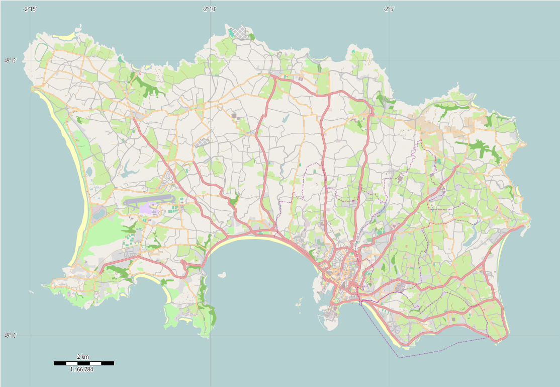
English: Location map of Jersey, Channel Islands, UK |
| Date | |
| Source | Own work |
| Author | Philg88; Attribution: Wikimedia Foundation (www.wikimedia.org) |
W3C-validity not checked.
This W3C-unspecified vector image was created with Adobe Illustrator.
Licensing
This file is licensed under the Creative Commons Attribution 4.0 International license.
- You are free:
- to share – to copy, distribute and transmit the work
- to remix – to adapt the work
- Under the following conditions:
- attribution – You must give appropriate credit, provide a link to the license, and indicate if changes were made. You may do so in any reasonable manner, but not in any way that suggests the licensor endorses you or your use.
| This work contains information from OpenStreetMap, which is made available under the Open Database License (ODbL).
The ODbL does not require any particular license for maps produced from ODbL data. Prior to 1 August 2020, map tiles produced by the OpenStreetMap Foundation were licensed under the CC-BY-SA-2.0 license. Maps produced by other people may be subject to other licences. |
File history
Click on a date/time to view the file as it appeared at that time.
| Date/Time | Thumbnail | Dimensions | User | Comment | |
|---|---|---|---|---|---|
| current | 10:31, 20 December 2014 | | 1,114 × 769 (1.46 MB) | Philg88 | {{Information |Description ={{en|1=Location map of Jersey, Channel Islands, UK}} |Source ={{own}} |Author =Philg88; Attribution: Wikimedia Foundation (www.wikimedia.org) |Date =2014-12-20 |Permission =... |
File usage
The following pages on the English Wikipedia use this file (pages on other projects are not listed):
- Acorn Jersey Open
- Corbière railway station
- Football at the 2015 Island Games – Men's tournament
- Haut de la Garenne
- Jersey Football Combination
- Jersey Open
- La Cotte de St Brelade
- La Moye Golf Club
- Millbrook railway station (Jersey)
- Rediffusion Tournament
- St Aubin railway station
- St Helier
- St Helier railway station (Jersey Eastern Railway)
- St Helier railway station (Jersey Railway)
- Vingtaine du Mont à l'Abbé
- User:Poppo154
- User:Sherms95/sandbox 4
- Wikipedia:Graphics Lab/Map workshop/Archive/Dec 2014
- Module:Location map/data/United Kingdom Jersey
- Module:Location map/data/United Kingdom Jersey/doc
Global file usage
The following other wikis use this file:
- Usage on ar.wikipedia.org
- Usage on ast.wikipedia.org
- Usage on de.wikipedia.org
- Usage on es.wikipedia.org
- Usage on fr.wikipedia.org
- Usage on hr.wikipedia.org
- Usage on ja.wikipedia.org
- Usage on lv.wikipedia.org
- Usage on si.wikipedia.org
- Usage on th.wikipedia.org
- Usage on uk.wikipedia.org