
File:Petuelring vs Lerchenauer Strasse 2009-11.jpg
Size of this preview: 800 × 450 pixels. Other resolutions: 320 × 180 pixels | 640 × 360 pixels | 1,024 × 576 pixels | 1,600 × 900 pixels.
Original file (1,600 × 900 pixels, file size: 900 KB, MIME type: image/jpeg)
| This is a file from the Wikimedia Commons. Information from its description page there is shown below. Commons is a freely licensed media file repository. You can help. |
Summary
| Description |
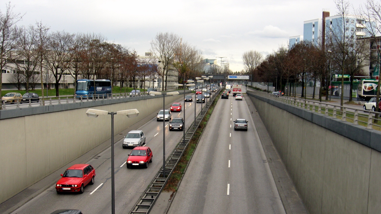
English: Western end of the Petuelring in Munich (Bavarian, Germany) crossing Lerchenauer Straße
Deutsch: Westliche Ende des Petuelringes in München Höhe Lerchenauer Straße
|
||
| Date | |||
| Source | Own work | ||
| Author | Labant | ||
| Permission (Reusing this file) |
I, the copyright holder of this work, hereby publish it under the following licenses:
This file is licensed under the Creative Commons Attribution-Share Alike 3.0 Unported, 2.5 Generic, 2.0 Generic and 1.0 Generic license.
You may select the license of your choice. |

| Camera location | | View this and other nearby images on: OpenStreetMap |
|---|
File history
Click on a date/time to view the file as it appeared at that time.
| Date/Time | Thumbnail | Dimensions | User | Comment | |
|---|---|---|---|---|---|
| current | 16:50, 25 February 2010 | | 1,600 × 900 (900 KB) | Labant | == {{int:filedesc}} == {{Information |description={{en|1=Western end of the Petuelring in Munich (Bavarian, Germany) crossing Lerchenauer Straße}} {{de|1=Westliche Ende des Petuelringes in München Höhe Lerchenauer Straße}} {{bar|1=Westliches End vom P |
File usage
The following pages on the English Wikipedia use this file (pages on other projects are not listed):
Global file usage
The following other wikis use this file:
- Usage on de.wikipedia.org
- Usage on sv.wikipedia.org
- Usage on www.wikidata.org