
File:VTA Guadalupe Division entrance, November 2016.jpg

Size of this preview: 800 × 415 pixels. Other resolutions: 320 × 166 pixels | 640 × 332 pixels | 1,024 × 532 pixels | 1,920 × 997 pixels.
Original file (1,920 × 997 pixels, file size: 293 KB, MIME type: image/jpeg)
| This is a file from the Wikimedia Commons. Information from its description page there is shown below. Commons is a freely licensed media file repository. You can help. |
Summary
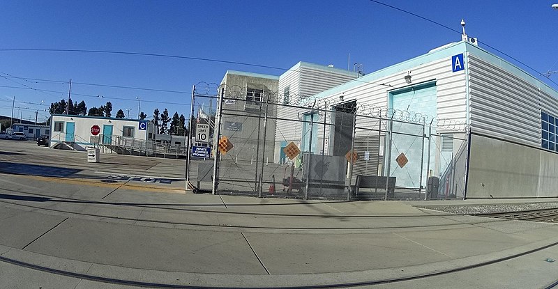
| Description | The entrance gate to the Santa Clara Valley Transportation Authority light rail system's Guadalupe Division yard. Building A is to the right in the foreground and Building C is to the left in the background. | ||
| Date | |||
| Source |
|
||
| Author | bhousel @ Mapillary.com | ||
| Permission (Reusing this file) |
This file is licensed under the Creative Commons Attribution-Share Alike 4.0 International license.
|
| Camera location | | View this and other nearby images on: OpenStreetMap |
|---|
Licensing
This file is licensed under the Creative Commons Attribution-Share Alike 4.0 International license.
- You are free:
- to share – to copy, distribute and transmit the work
- to remix – to adapt the work
- Under the following conditions:
- attribution – You must give appropriate credit, provide a link to the license, and indicate if changes were made. You may do so in any reasonable manner, but not in any way that suggests the licensor endorses you or your use.
- share alike – If you remix, transform, or build upon the material, you must distribute your contributions under the same or compatible license as the original.
File history
Click on a date/time to view the file as it appeared at that time.
| Date/Time | Thumbnail | Dimensions | User | Comment | |
|---|---|---|---|---|---|
| current | 01:54, 28 May 2021 | | 1,920 × 997 (293 KB) | Renamed user 150tcy3tya3ql | Cropped 8 % vertically using CropTool with precise mode. Removed watermark. |
| 06:17, 27 May 2021 |  | 1,920 × 1,080 (318 KB) | Mxn | Uploaded a work by Bryan Housel from [https://www.mapillary.com/map/im/kGiI-ypvlrIio6djlIjpdQ Mapillary] with UploadWizard |
File usage
The following pages on the English Wikipedia use this file (pages on other projects are not listed):
Global file usage
The following other wikis use this file:
- Usage on de.wikivoyage.org
- Usage on es.wikipedia.org
- Usage on simple.wikipedia.org
- Usage on www.wikidata.org
- Usage on zh.wikipedia.org